Vienna, 01.08.2024
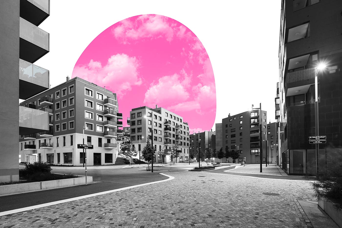
Distances are short within aspern Seestadt. The public space is dedicated primarily to pedestrians and cyclists. Car traffic deliberately plays a minor role, as cars are not the best means of transport for short distances.
Therefore, there is more space for people. Whether they are on their way to work, shopping or recreation. The path to school is also an extremely important experience for pupils.
The Seestadt of short distances
A variety of seating areas, playground equipment integrated into the public space and numerous trees in parks and street spaces invite people to linger. Children can use the open spaces and squares for play and go on a discovery tour through Seestadt with their friends. These are all ideas that played a major role early on in the conception and design of the public space.
50% of aspern Seestadt
is open space.
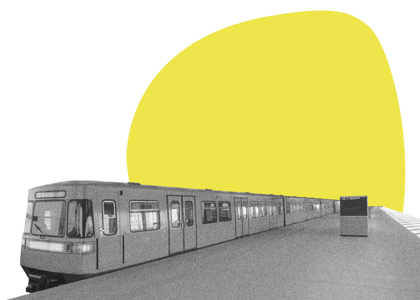
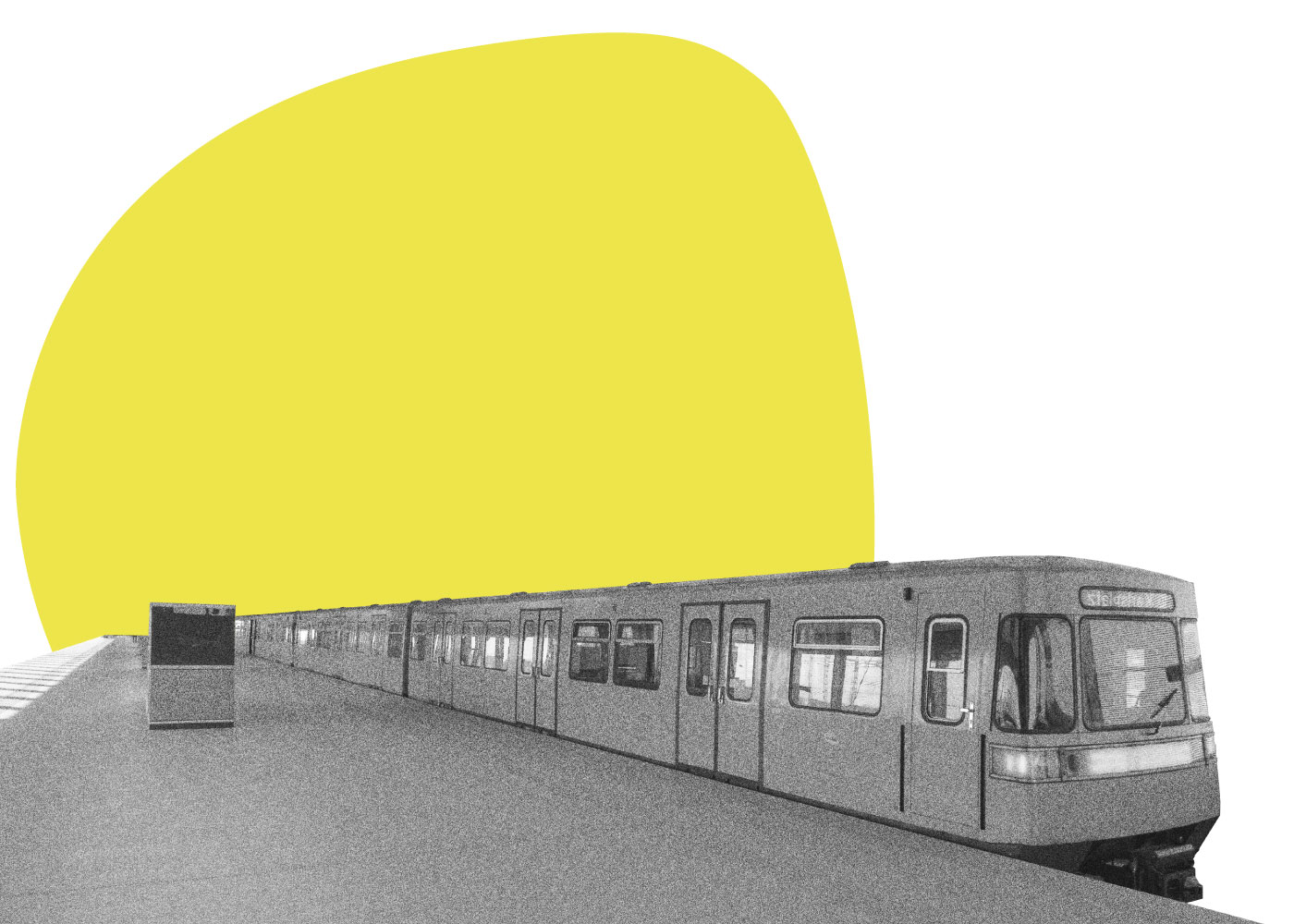
aspern Seestadt is a city of short distances. The compact urban structure, combined with the high building density and the well thought-out circulation between building blocks make this possible. Many everyday errands, a trip to the doctor or to the gym can be done on foot - the quietest, cheapest and most environmentally friendly way to get around.
Diverse public spaces and car-free areas make walking and cycling more attractive. They also make Seestadt a child-friendly city. This is confirmed by residents: The following map, created by Philipp Naderer-Puiu, a Seestadt resident and developer of the Seestadt.bot, shows, from Philipp’s point of view, which areas are suitable for practising cycling with his child. Philipp’s map highlights areas that are suitable for teaching even the youngest children to cycle and, above all, for enabling them to practise independently.
As Philipp explains:
Research into the quality of walking routes
The Seestadt mobility survey also researched the perception of open space. Where does public space trigger what particular feelings? Where are Seestadt residents afraid? Where do they feel particularly comfortable?
The research project Walk&Feel daddressed precisely these questions. New technological developments such as sensors make it possible to record and map physiological reactions in certain situations in order to recognise perceptions and emotions.
But what does that mean exactly? The aspern.mobil LAB team asks Linda Dörrzapf, mobility researcher at the TU Wien:
An outdoor shopping centre!
To ensure that walking remains exciting, a diverse range of ground-floor uses such as shops, restaurants, clubs and services plays a central role. In the meantime, there is a varied offer - which is summarised in the city catalogue, which in turn is linked to the Seestadt.bot.
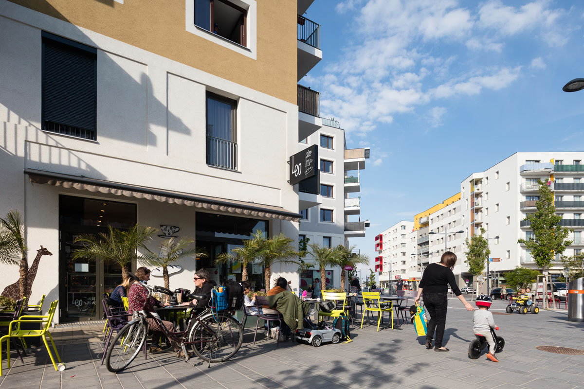
In aspern Seestadt, planners have acted to ensure that a mix of shops and restaurants optimally linked to the public space can establish themselves from the very beginning. The shopping street management uses a set of tools including rent compensation to support an optimal mix of uses. What is it all about? Martin Hemetsberger from SES Spar European Shopping Centers GmbH explains.
Attraction "Public Space"
As is well demonstrated here, public space can act as a catalyst for active mobility, and new measurement methods such as those used in the Walk&Feel project can provide in-depth insights into the connections between physical features and pedestrian perception. This knowledge can now be used for the design of new neighbourhoods in aspern Seestadt and beyond, in order to further improve the attractiveness of the public spaces. This topic remains of central interest for the aspern.mobil LAB
However, what if your trip is a little longer or you have something heavy to transport? Then you’ll need a complementary means of transport to foot, tram, bus, train and bike... What could these be? You can find the answer to this question, as well as what the future of mobility in the aspern Seestadt will look like, in Part 3.