Vienna, 01.08.2024
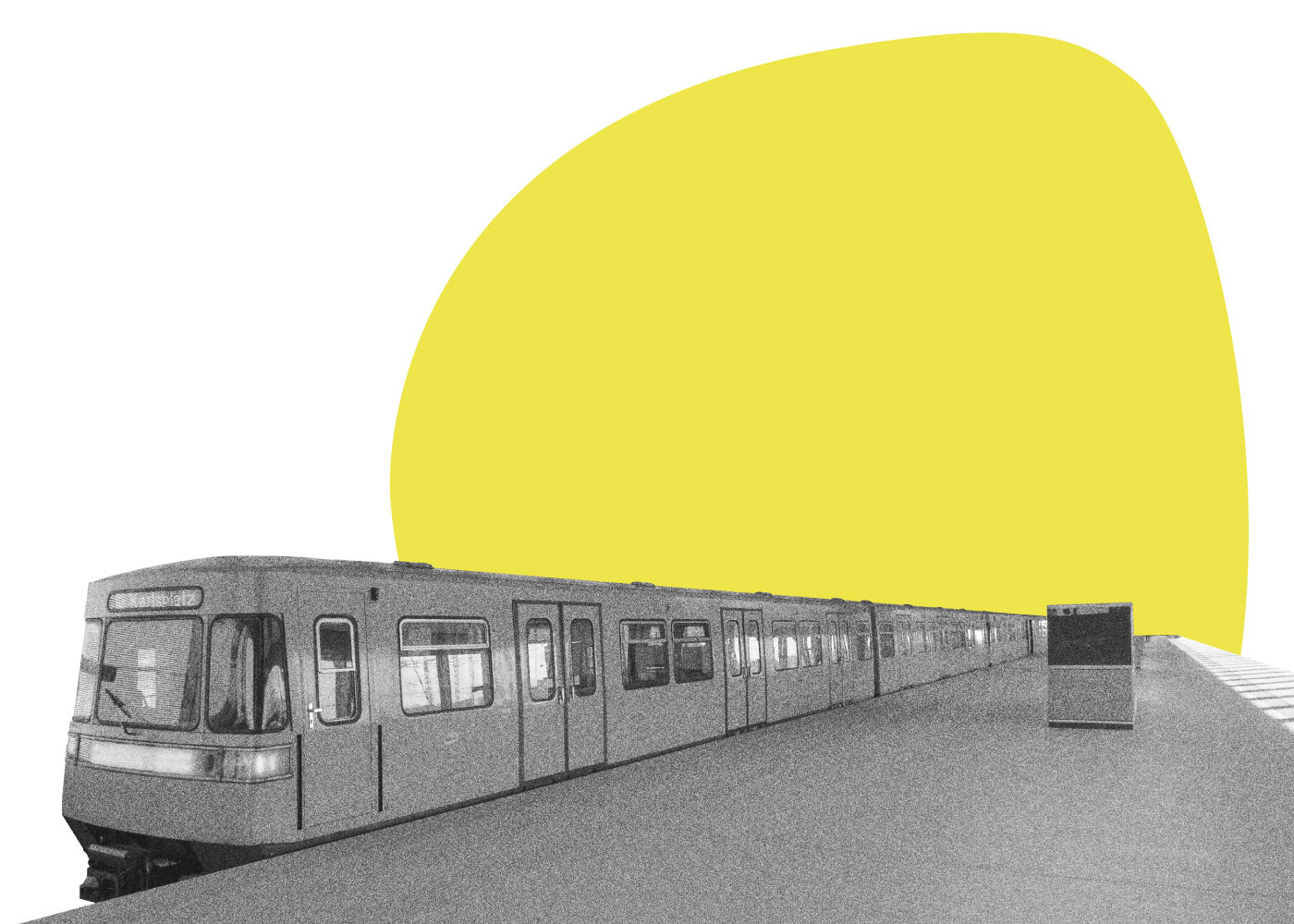
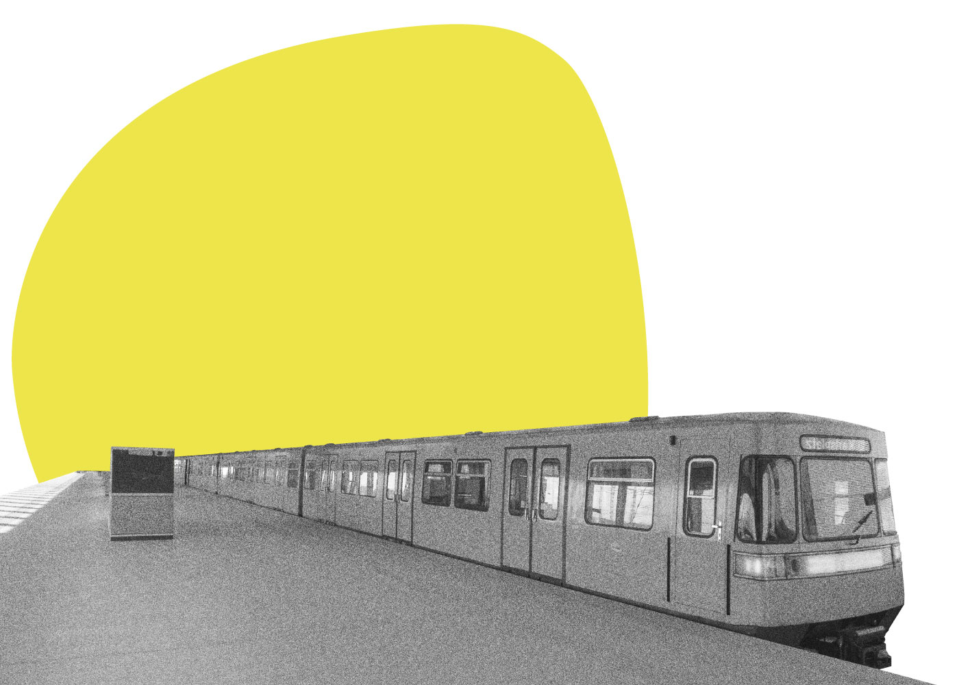
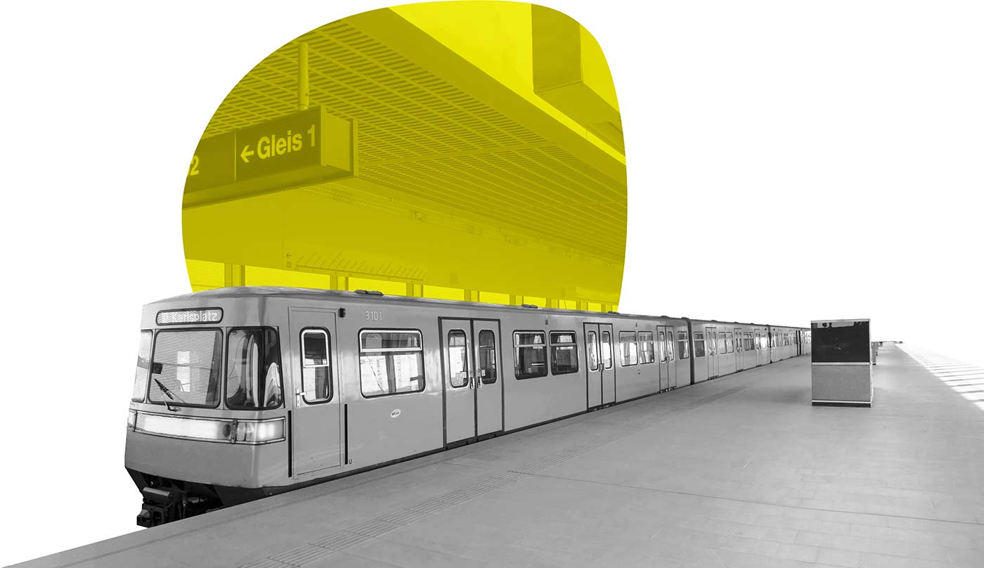
aspern Seestadt’s public transport connections, especially the underground line U2, have been the mobility artery for many Seestadt residents from the very beginning: linking the Seestadt with the surrounding Donaustadt, central Vienna and the rest of the city.
Seestadt’s public transport network will become even denser in the coming years with planned new tram and bus connections. But what do the Seestadt residents think about today’s public transport service? As part of the mobility survey 2019, we also asked Seestadt residents questions about public transport.
Here are their answers:
All participants
Shown here are the male and female participants of the mobility survey.
We would like to show in more detail what results we have found in the context of public transport through our study.
Public transport use
Approximately 41% of the female and 35% of the male participants use public transport regularly. Here, regular means that over 50% of recorded trips were made by public transport.
Annual public transport ticket
One of the questions on the mobility survey is: Do you have a Wiener Linien annual ticket? The Wiener Linien annual ticket costs 365€ per year. The result shows that many residents own an annual ticket.
Over 95% of female respondents and 82% of male respondents have an annual public transport
Time on public transport
Many public transport trips taken by Seestadt residents are long despite the direct underground connection.
However, 92% of women and 91% of men stated that they were able to use their public transport travel time productively (e.g., reading).
Main reason for moving to aspern Seestadt
For more than 50% of the respondents, the underground connection was a main reason for moving to aspern Seestadt. This illustrates the importance of making public transport available early and continuously improving it (e.g., increassing frequency). Because…
… one goal from the project’s very beginning was to provide attractive public transport in aspern Seetadt.
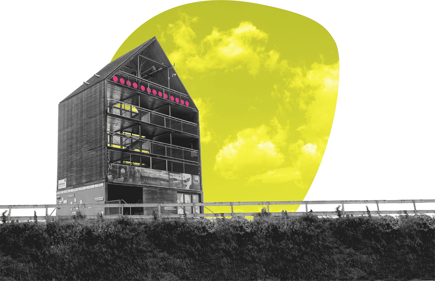
The purple artery
Providing a highly attractive public transport connection to the city centre and the surrounding districts was a clear condition for urban development at the former Aspern airfield. Therefore several route options for the U2 underground line extension were examined in the Seestadt planning process.
Which route should the U2 take?
Planners decided to build an extension to the U2 that connects the Seestadt with the city centre via Aspern North station and the still undeveloped Hausfeld area. The U2 extension was completed on 5 October 2013, before the majority of Seestadt residents moved into their new apartments. At that time, it was still possible to walk directly out of an underground station onto fields and meadows (amateur photographs also show) - quite extraordinary.
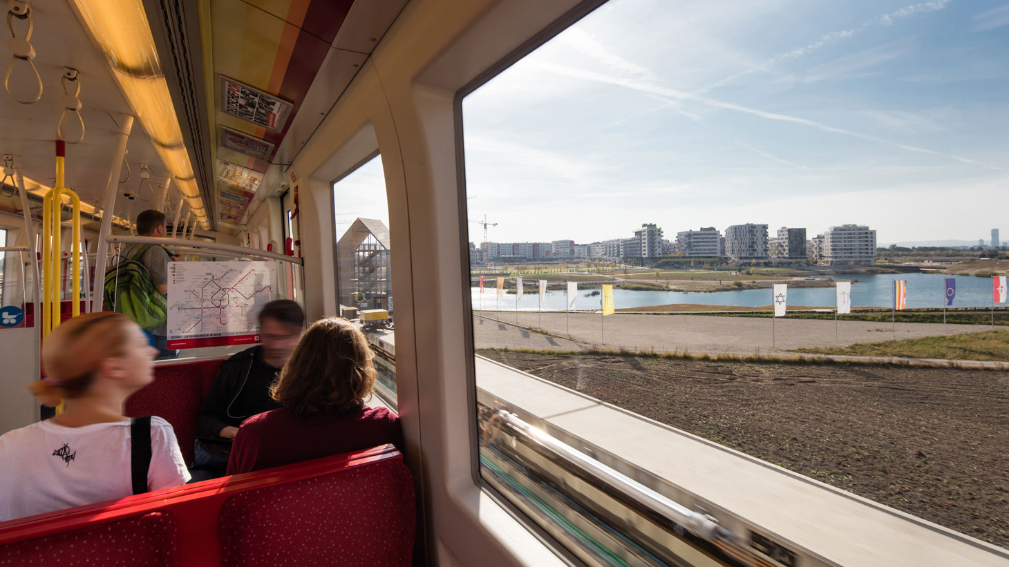
From 2013 onwards, future Seestadt residents were able to easily and comfortably visit their building sites by underground. A feeling arose of how close Seestadt is to the city centre and how easy it would be to live without a car. Nevertheless, not only were the underground and a car-free life on the minds of the city and mobility planners. They wanted to create a broad mix of mobility options, a mobility offer that grows with aspern Seestadt and its residents. Thus, from 2025 onwards, new tram lines will provide fast connections to Donaustadt and Floridsdorf. Nevertheless, the U2 underground line will always be the "purple artery" into and out of Seestadt due to its capacity and high frequency. In the mobility survey, 43% of the respondents used the U2 daily.
43% of survey respondents
use the U2 every work day.
The Seestadt station has always been a central point in the lives of many Seestadt residents.
Why a central point point? Because 30% of the participants make their way to other districts (27%) and outside Vienna (3%) every day.
the average public transport journey for Seestadt residents takes
the average distance for public transport journeys by Seestadt residents is
When does the next U2 train leave?
We all try to optimise our everyday journeys. Since the initial frequency of the U2 was every 10-minutes, if you missed your train you might have to wait - up to 10 minutes - that adds up to 1.5 hours per week if you use the U2 every day in both directions. But how can you know whether you need to run to the station or you have enough time for a leisurely walk?
Inventive people with a connection to Seestadt thought about it and found some fun solutions.
The Zeitkugeln (time spheres) in the Flederhaus were a good example.
Look closely - how many spheres light up?
What do these spheres have to do with the U2 trains?
Time spheres in the Flederhaus
Jan Lauth and Illina Kokaleska from aspern Seelab answer this question for us. They tell the story of the Zeitkugeln in aspern Seestadt. You can read the details - including the implementation and the materials - in Julia Kunert's diploma thesis.
The Zeitkugeln show how much dynamism can be found in aspern Seestadt: dynamism in the completion of new buildings, streets and squares, but also dynamism in how Seestadt residents and workers take the initiative to solve problems and develop tools for making their lives easier. Another example is the digital solution called Seestadtbot.
Philipp Naderer-Puiu - a Seestadt resident - developed the Seestadtbot. He explains it to us in this video:
The U2 is not alone!
Philipp addresses it: There is much more to public transport in Seestadt than simply the U2.
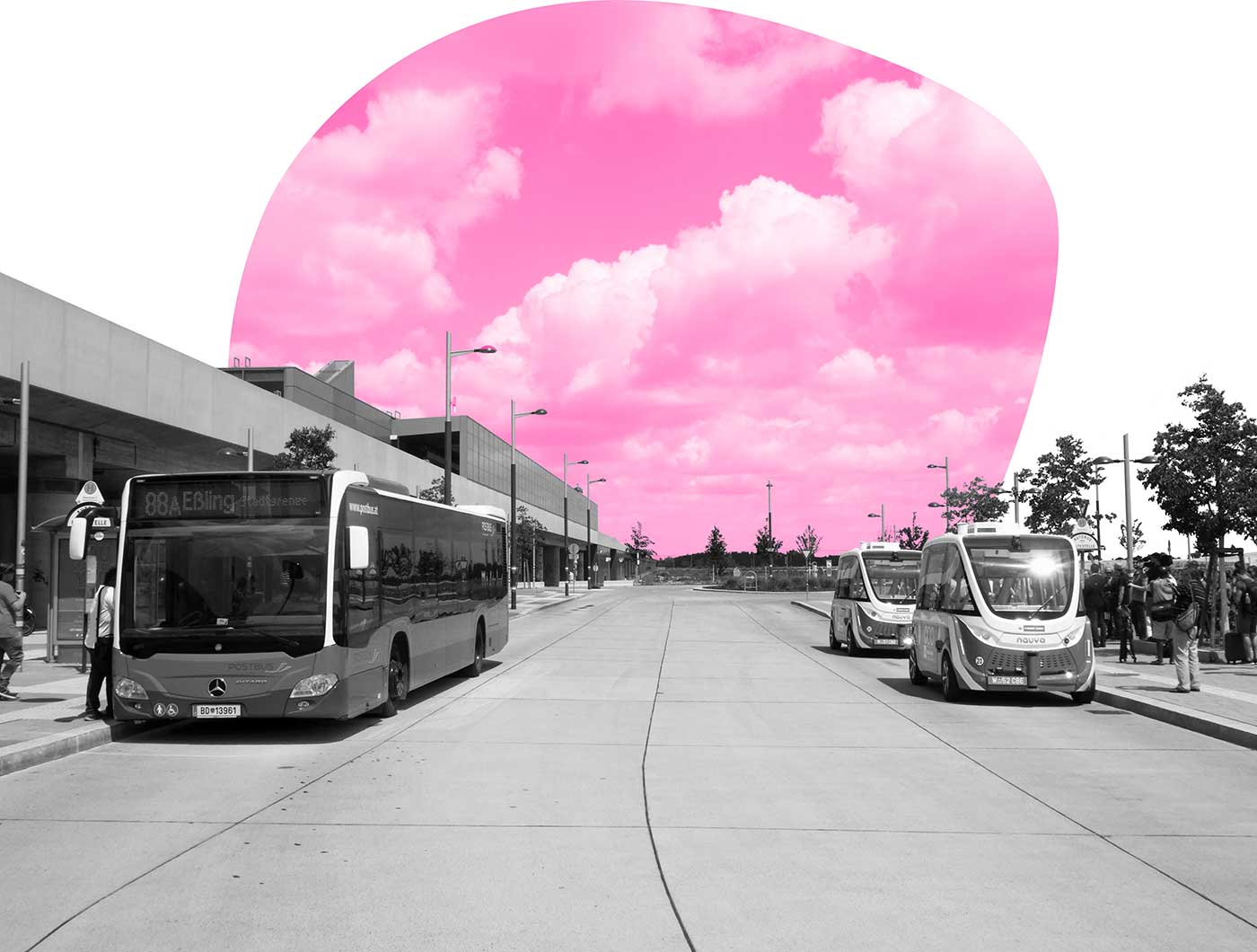
Today seven bus lines serve Seestadt from all directions and connect it with the Donaustadt and neighbouring districts. In addition, the auto.BUS was an autonomous vehicle that provided Seestadt residents with public transport service connecting the underground station to Seestadt’s northwest edge.
Another example is the 84A bus line, known as the "Seestadtlinie". It connects the U2 stations "Seestadt" and "Aspernstraße" and stops in the southern part of Seestadt. The S80 suburban railway line also offers a fast connection to the city centre from the nearby Aspern Nord station!
881 bus kilometres
are part of the data.
of underground users start from the Seestadt station.
of underground users take the bus to U2 Aspernstraße.
Public transport services grow with the area
When the residents move into the “Quartier am Seebogen” in 2021 and with the growth of other neighbourhoods in the future, new public transport options will increase. For example, the suburban railway station Aspern Nord will be within walking distance for new residents - here, building an attractive passage through the intervening construction site areas from the beginning will play a central role
As the map shows, residents of Seestadt can choose different routes on their way to the Seestadt U2 underground station. Sometimes they choose to walk along the lake, although it is a bit longer. Sometimes they are in a hurry and choose the direct route through the Seeparkquartier pedestrian zone. How the routing along the lake affects the well-being of the walker is addressed in Part 2.
Moreover, how far beyond the city limits did our mobility survey participants travel by bike?