Vienna, 01.08.2024
Transport is a basic need! We’re always on the move! On the way to school. On the way to work. On the way to the great outdoors. On the way to friends and family.
However, the way we travel varies. We can use private or public transport, which we share or use all by ourselves. We walk, roll, skate, cruise, and ride and the more skilful among us sometimes even walk on stilts. No matter how we move, as soon as we are in public space, we create traffic.
Traffic is an expression of our mobility and freedom to move. However, traffic itself can reduce our quality of life. We all know about traffic jams, polluted air and noise. We all know that some forms of transport need more space than others. And, we all have personal, individual strategies for how we can best get around.
You can learn a lot about moving and transport from aspern Seestadt’s mobility strategy. Sustainable mobility has been discussed and debated there since 2004. In addition, since the start of construction, aspern Seestadt has actually built sustainable and innovative mobility solutions.
On the following pages, we’ll take you on a journey, sharing stories and data to give you new perspectives on the topic of mobility. We will do this using the example of aspern Seestadt. Here Vienna has built a new innovative district designed to reduce the need to drive by cleverly combining a variety of measures while simultaneously creating attractive and fun sustainable travel options.
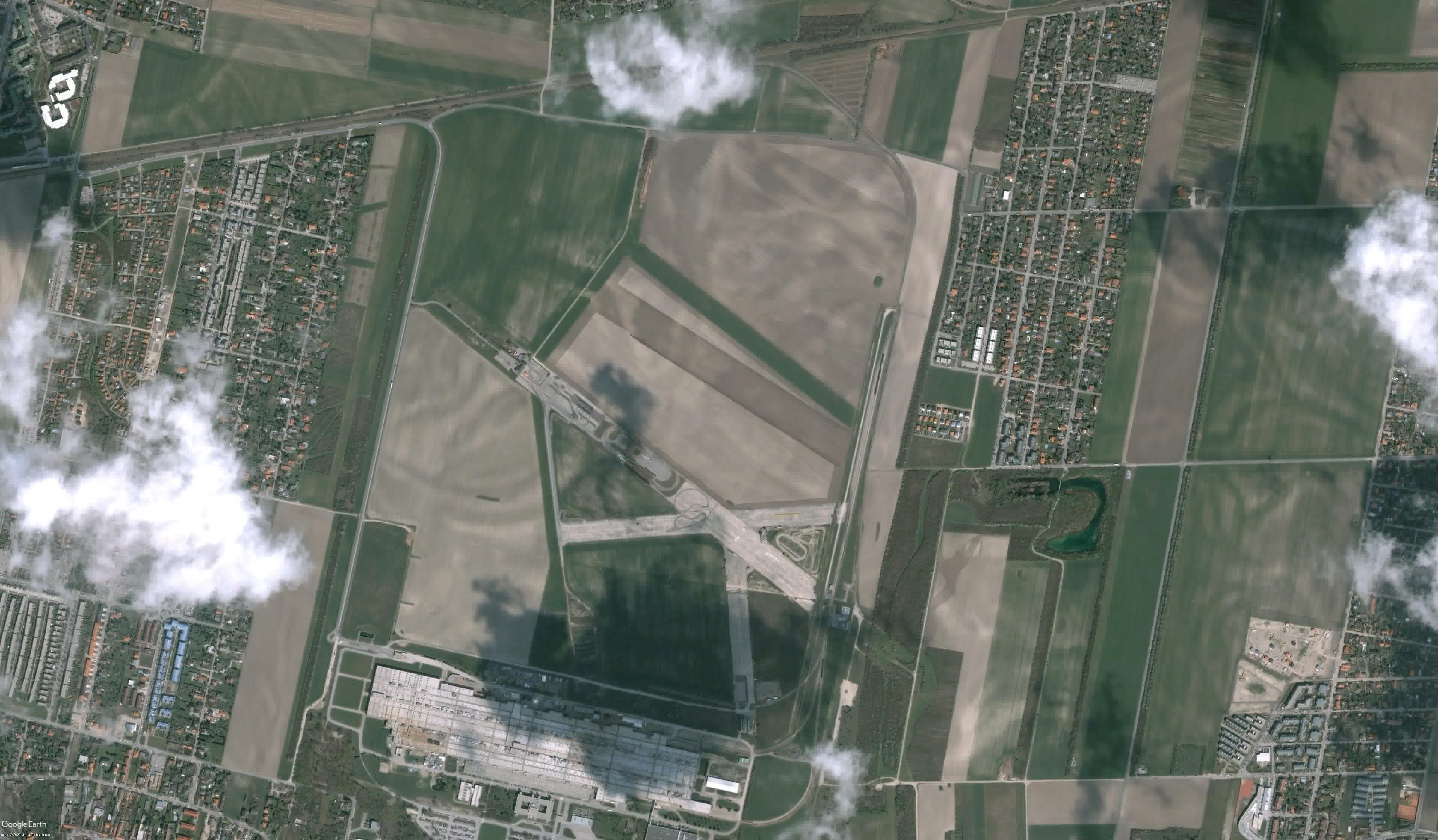
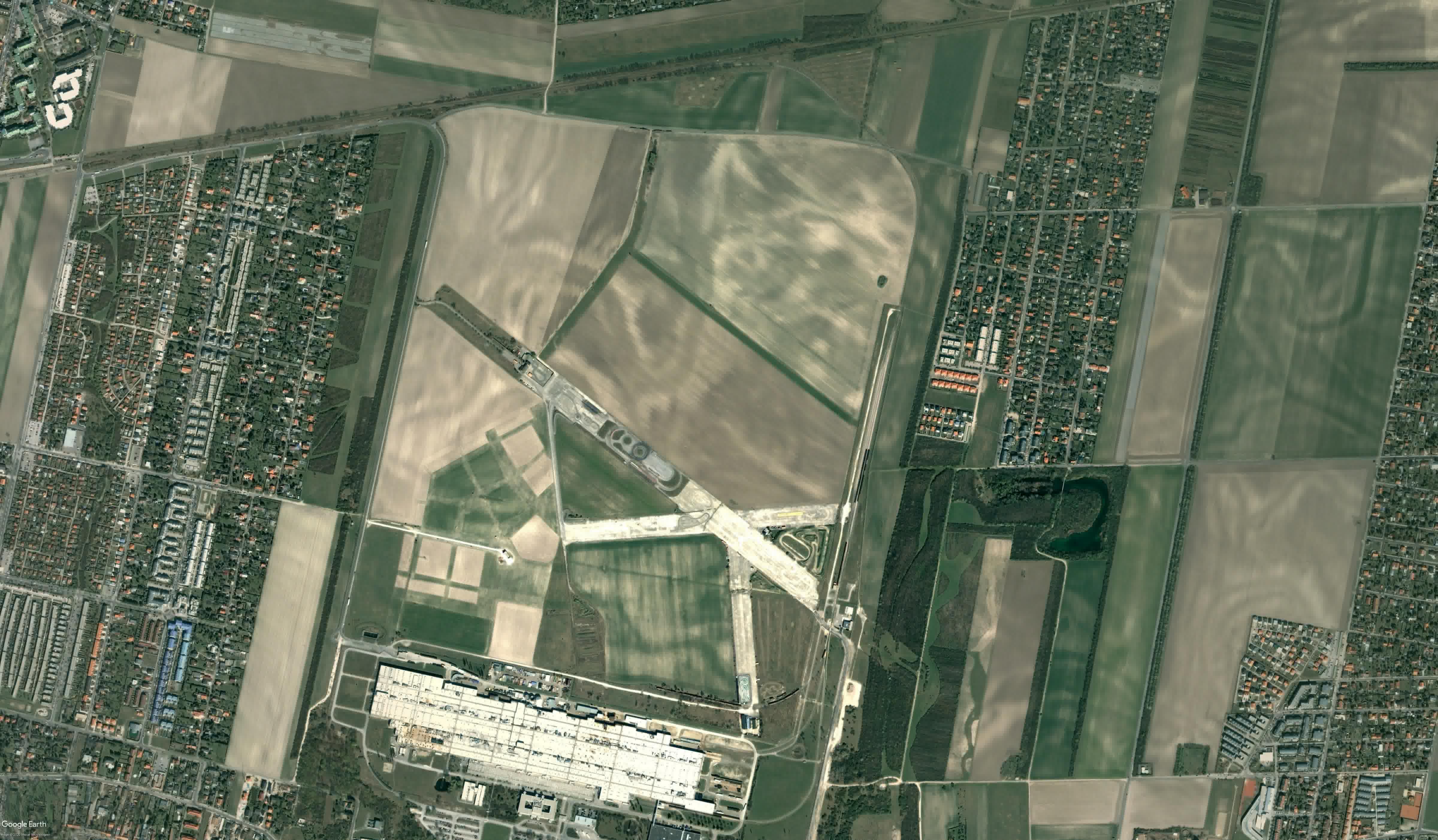
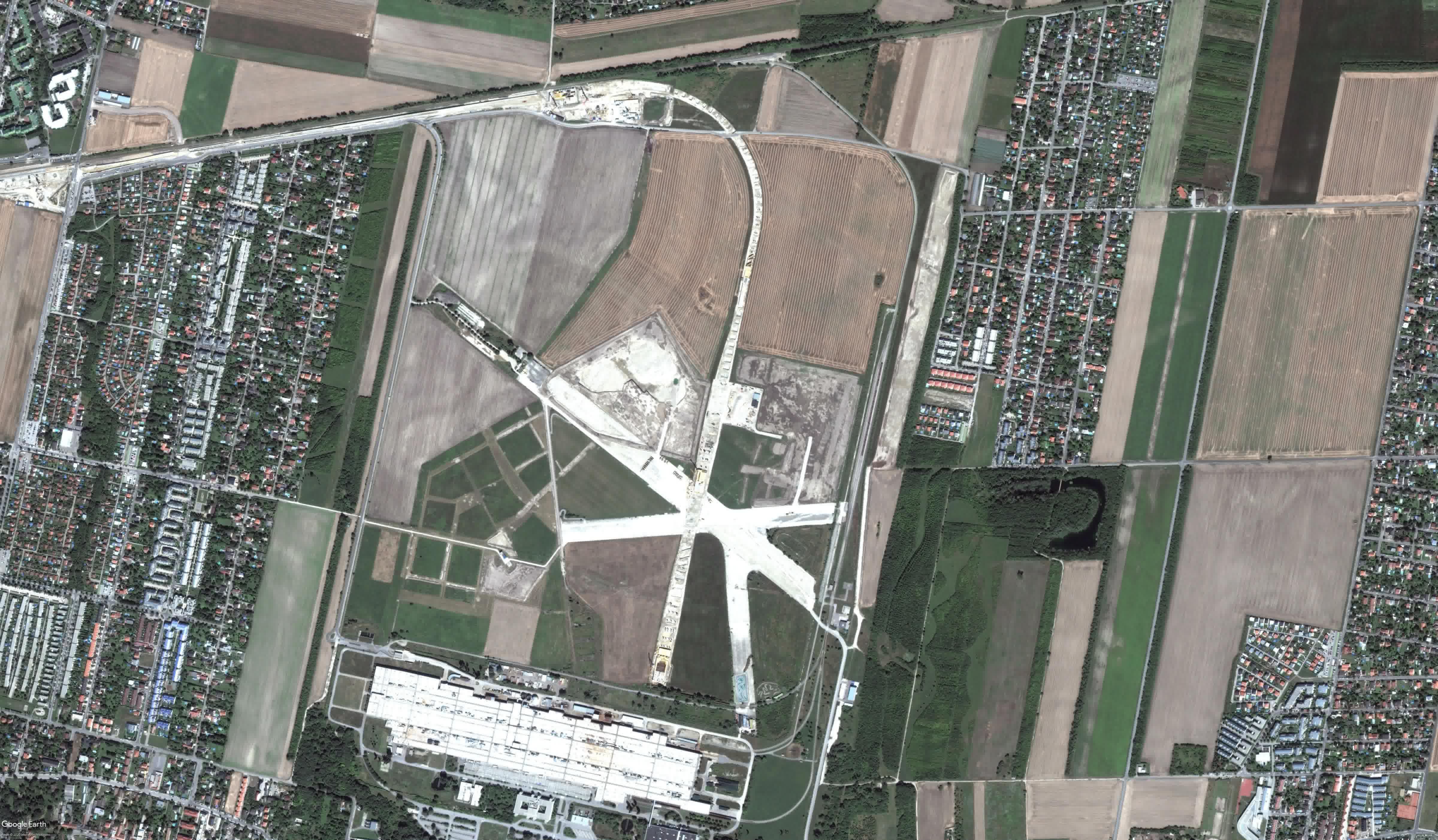
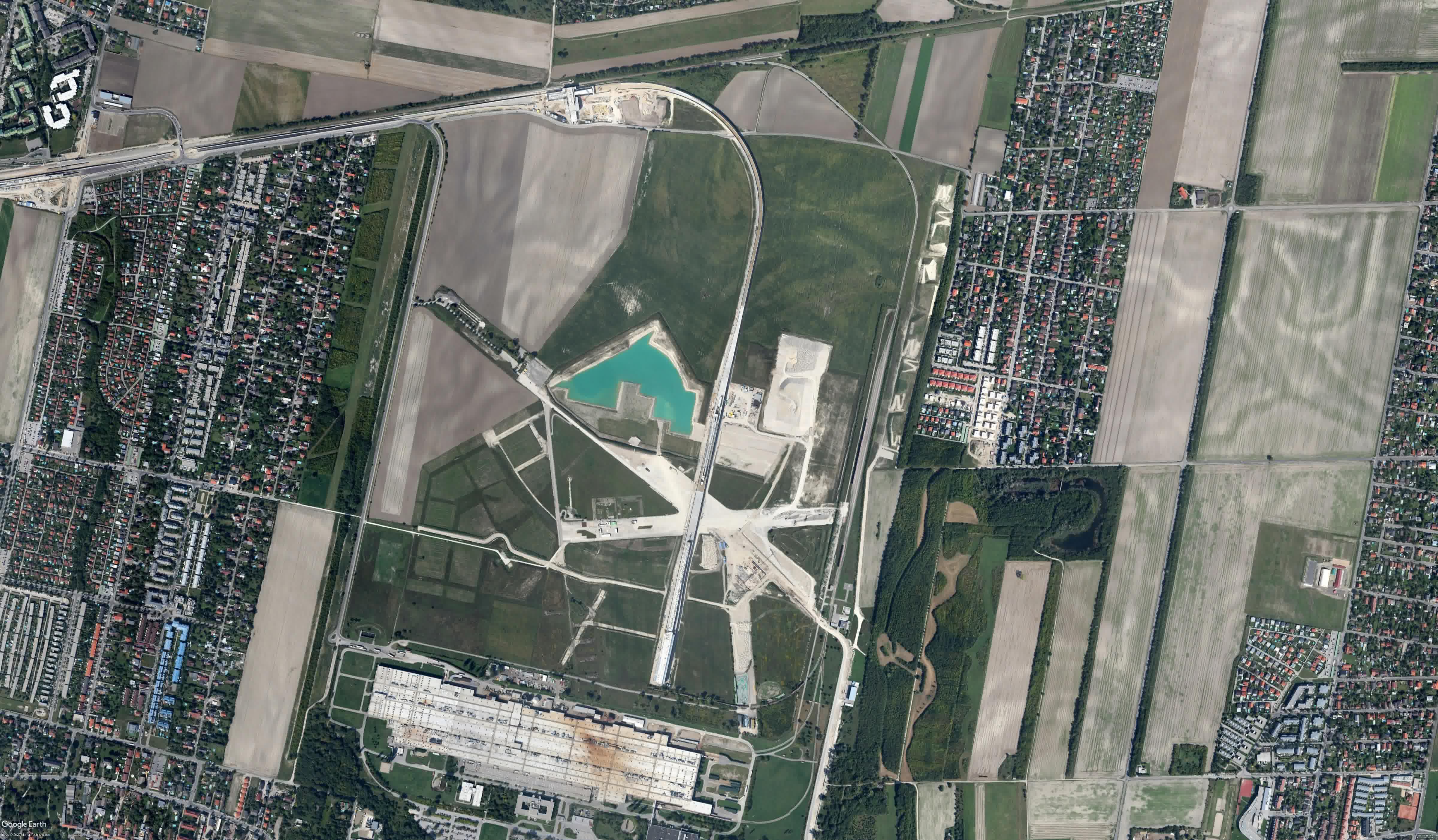
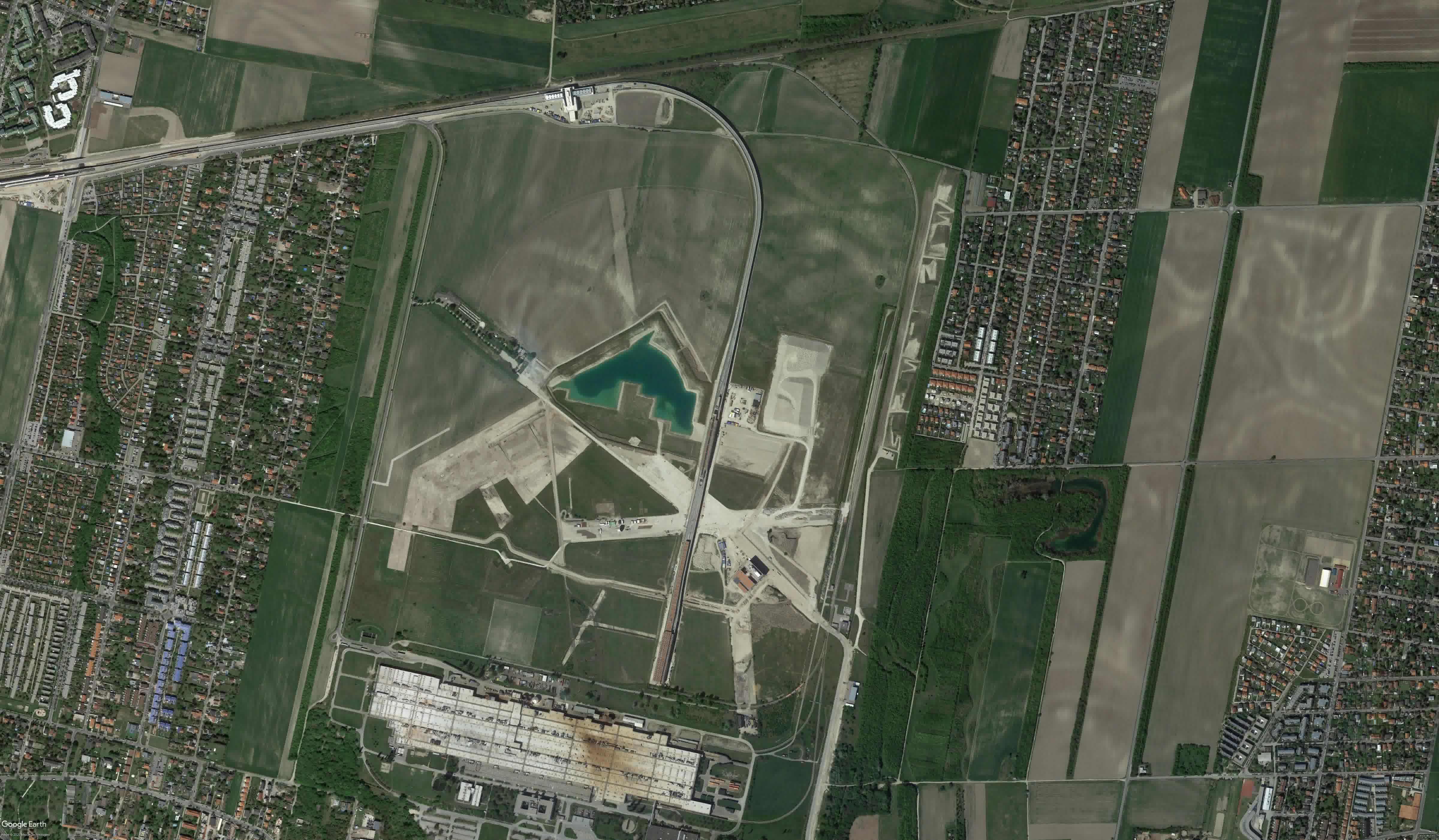
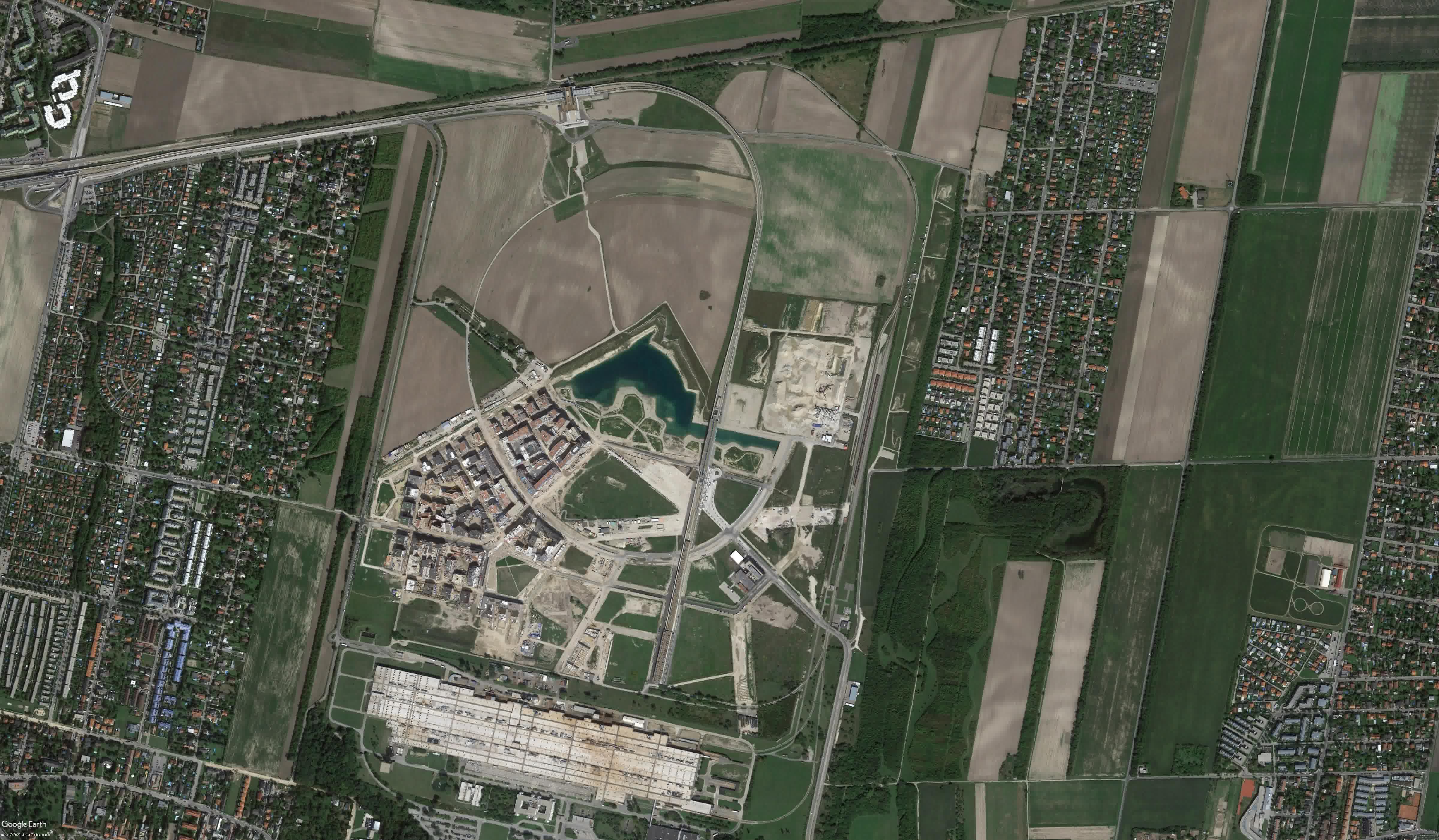
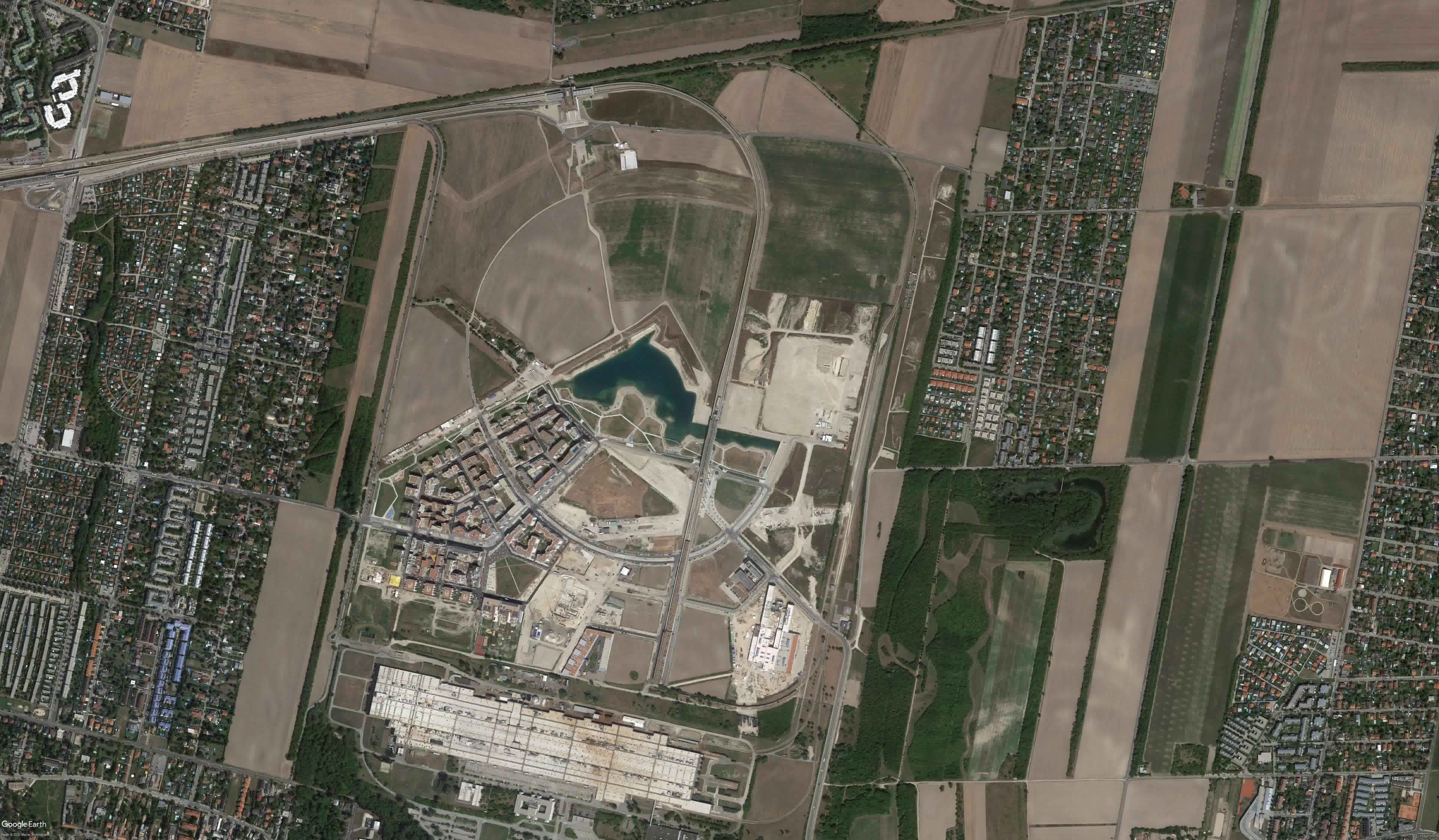
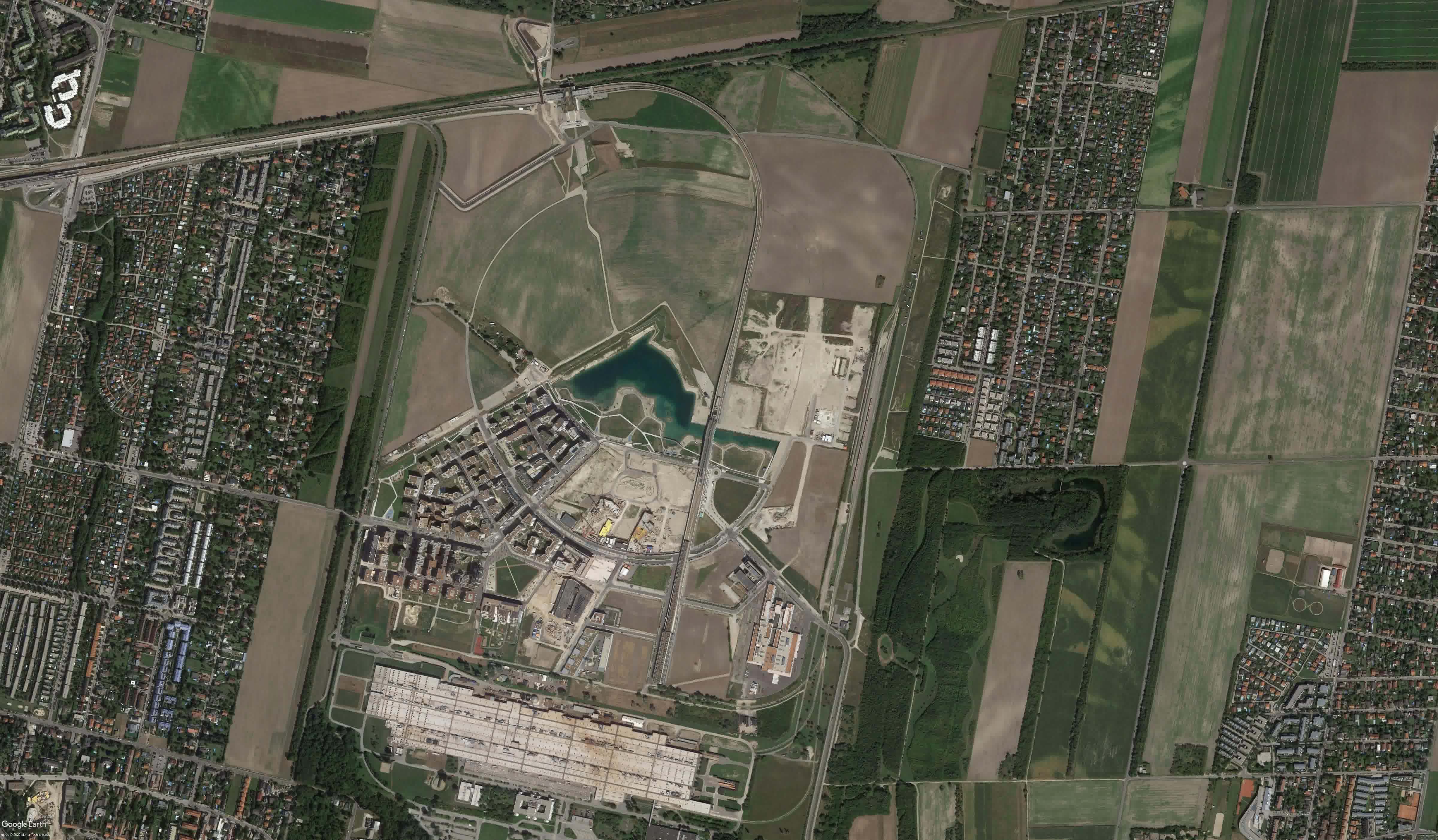
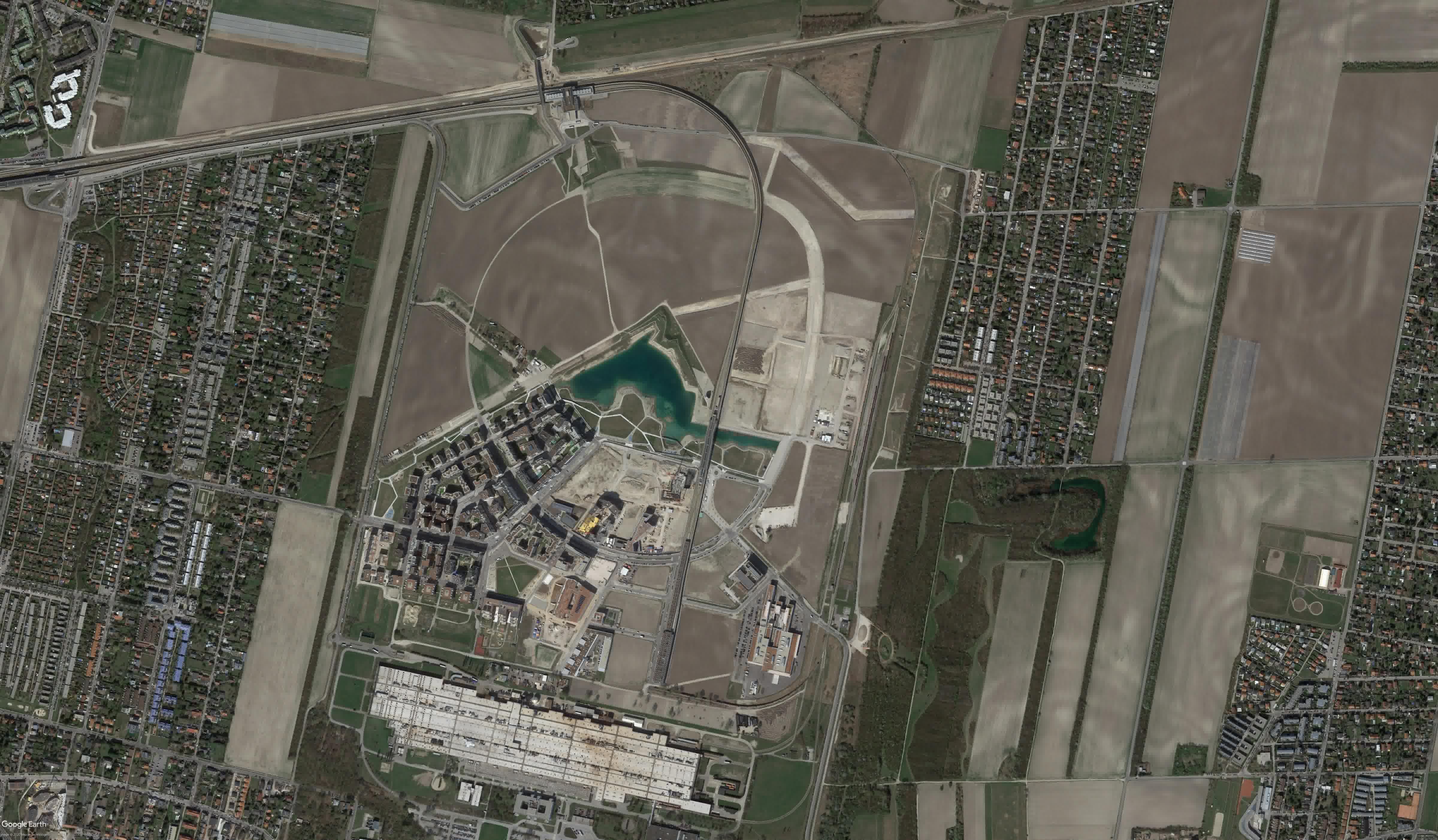
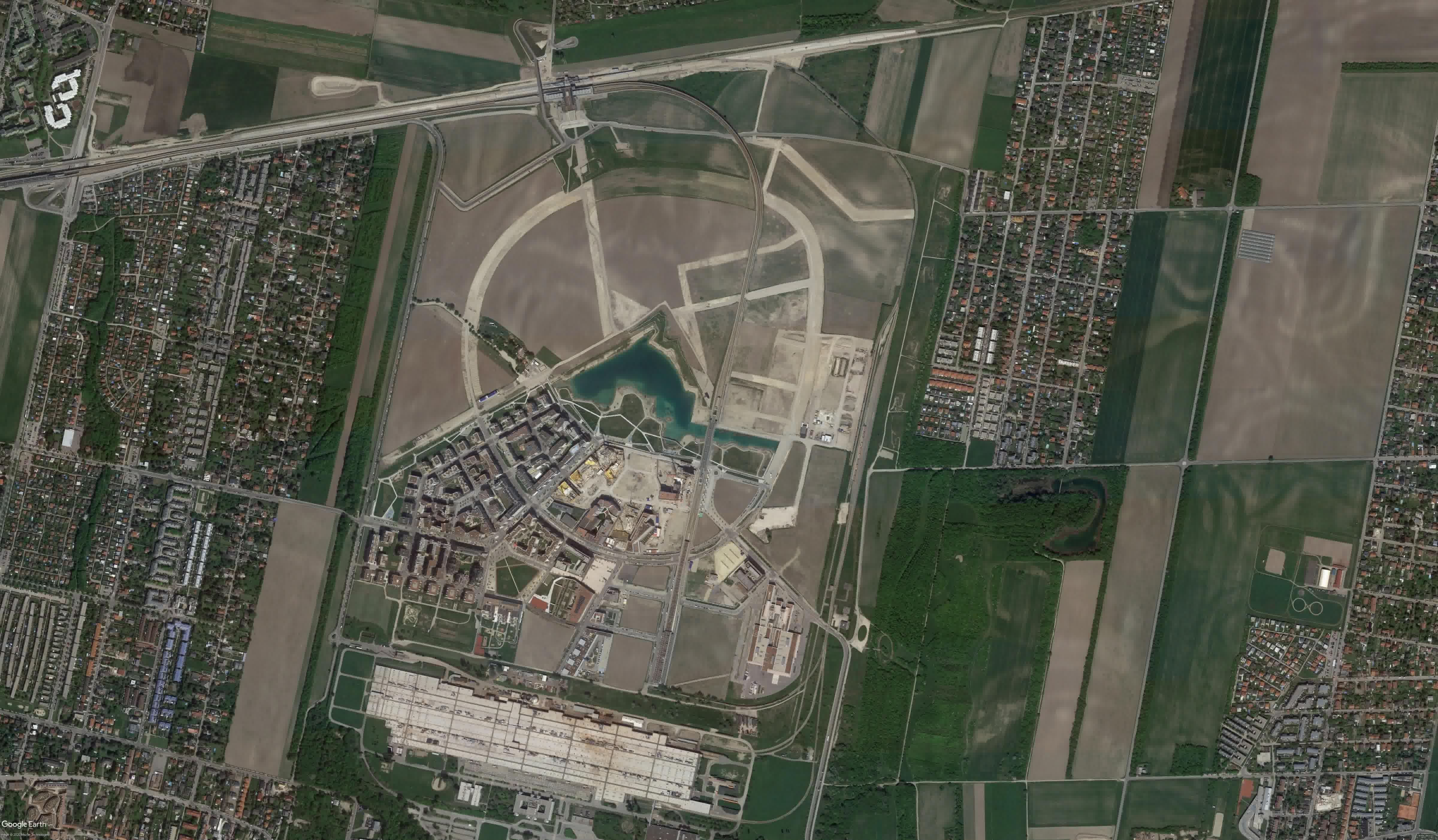
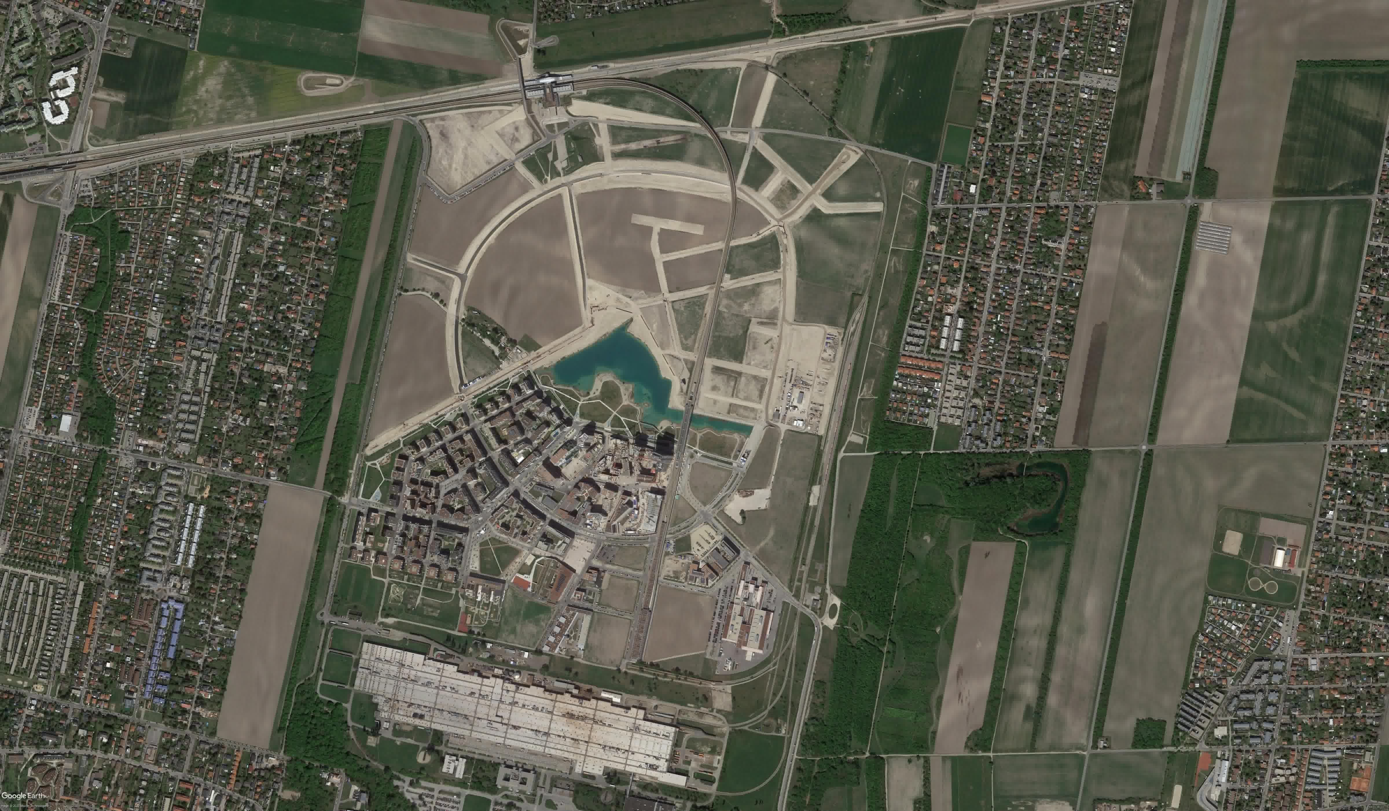
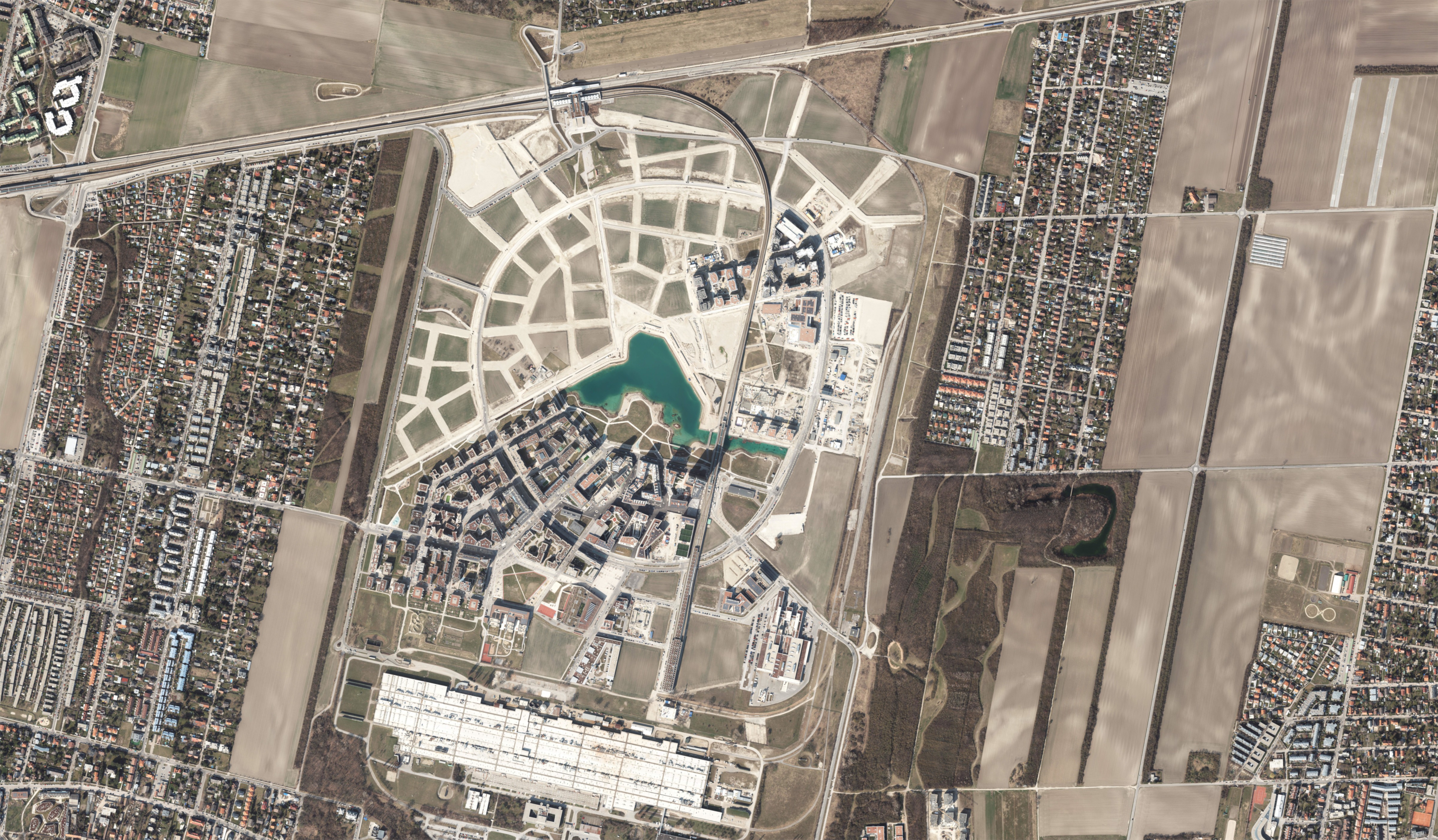
From an airfield to aspern Seestadt
Planning of aspern Seestadt began in 2004 and now it is one of the largest urban development areas in Europe. The plan’s objective was to create a multiuse district for more than 25.000 residents as well as 20.000 jobs and apprenticeships.
Today it is a lively, mixed-use, high-quality neighbourhood inhabited by creative and diverse residents all of whom have interesting stories to tell.
Scroll from 2004 to today!
2004

Credits:
2004
2008
2010
2011
2012
2014
2015
2016
2017
2018
2019
2021
2023
Mobility in the aspern Seestadt
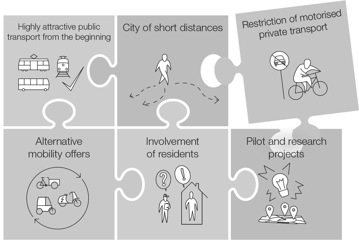
Since the beginning of planning in the early 2000s, the mobility concept of aspern Seestadt has focused on an urban mobility mix that conserves resources and contributes to a high quality of life. The concept has six central building blocks designed to enable residents and workers to travel sustainably in and around Seestadt: a highly attractive public transport system from the very beginning, a city of short distances, the restriction of motorised private transport (MPV), alternative mobility offers, the involvement of residents, and pilot and research projects.
The mobility concept is intended to support sustainable, diverse mobility in by the time aspern Seestadt. This goal is reflected in the district’s Modal Split objectives to be achieved on project completion. These objectives are:
40 percent
of trips in aspern Seestadt should be by public transport,
40 percent
of trips should be made by bicycle or on foot and
nur 20 percent
of trips should be made by car, moped or motorbike.
Scroll through the comparison of the transport mix: How mobile is the whole of Vienna, Donaustadt as the district surrounding Seestadt, or Seestadt itself? In addition, did aspern Seestadt already achieve its ambitious goals?
This distribution of trips by means of transport is called the Modal Split. Vienna’s modal split in 2019 was ...
... and this is the Modal Split of Donaustadt.
The clearly higher share of motorised private vehicle trips is revealing.
aspern Seestadt set very ambitious goals given its location in the Donaustadt.
Although the goals of aspern Seestadt have not yet been fully achieved, a clear difference can be seen from the district as a whole.
aspern Seestadt Modal Split
The aspern Seestadt mobility survey has been carried out annually since 2019. Residents use smartphones to record their journeys and provide an insight into everyday life. The routes of the randomly selected participants are recorded by the app Wegesammler 2.0. In addition, the participants fill out questionnaires about themselves and their household.
In 2019 the mobility data of 123 people were collected including personal questionnaires plus household questionnaires. The respondents could record their journeys for 7 days - on average they recorded their journeys for 5,8 days.
Mobility Survey Methodology and Representativeness: the mobility survey data was represented in “Storymaps”. This data consisted of 2525 trips and 7282 trip stages. The results presented below are not final because data are still being collected and analysed, but they represent the majority of responses. In addition, the survey revealed that people taking part in the study differ quite clearly from the average Seestadt resident in some respects.
Among residents completing the questionnaires, almost 60% have an academic degree, compared to an average of only 20% in the City of Vienna as a whole. There are also an above-average number of pupils, students and pensioners who took the survey, and fewer job-seekers and people who fall into the category "other".
In terms of age distribution, it is noticeable that comparatively few people under 30 years old participated in the study, while the age group 30-49 years is slightly overrepresented.
The knowledge gained about the mobility behaviour by aspern Seestadt residents enables better planning of mobility offers, as well as improved dialogue about the existing transport system. The data collected forms a basis for developing new innovative mobility solutions, as well as for mobility research, as is already taking place in the aspern.mobil LAB.
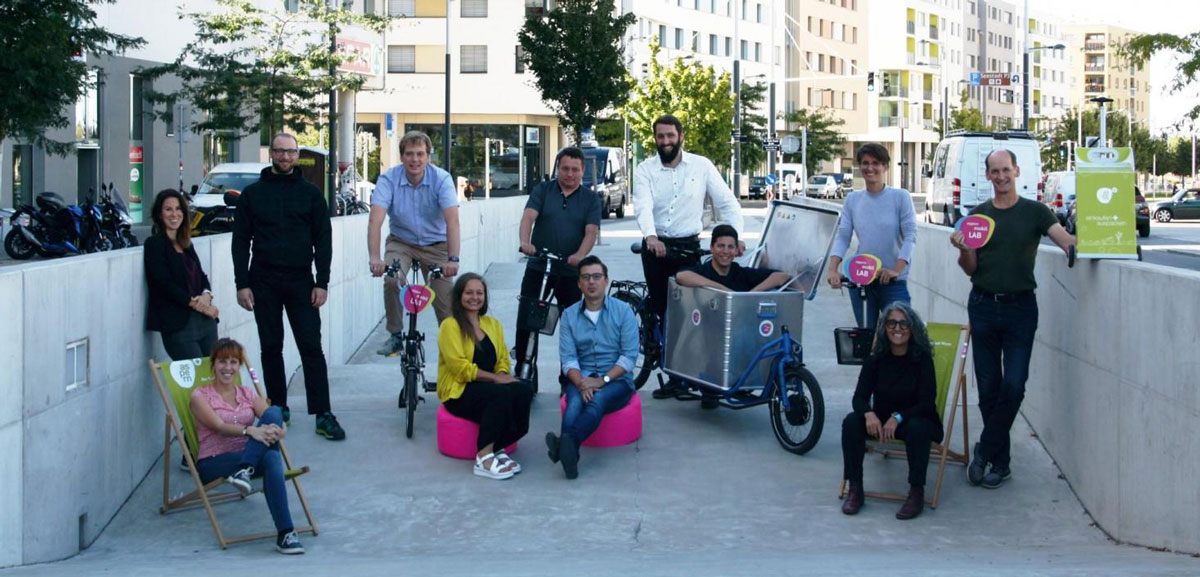
What is the aspern.mobil LAB?
The aspern.mobil LAB is place where academic, government and private organisations work together with residents to develop sustainable urban mobility solutions. The aspern.mobil LAB is operationally supported by an interdisciplinary team from the Vienna University of Technology representing the fields of spatial and transport planning, computer science, journalism, law, photography as well as architecture. Central partners are the development company Wien 3420 aspern development AG, the district management aspern Seestadt, and UIV Urban Innovation Vienna GmbH.
Results from the mobility survey
The video shows how residents of aspern Seestadt travel over the course of a day. Above all, the interconnections within the district are also easy to read, including, for example, routes to destinations such as the Stadlau business park or the Donauzentrum for work and shopping. This network of travel, which spans the city and especially the district, can be seen in the title video of this storymap.
But how do Seestadt residents really get around? What mobility services do they use?
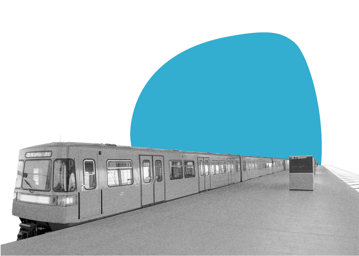
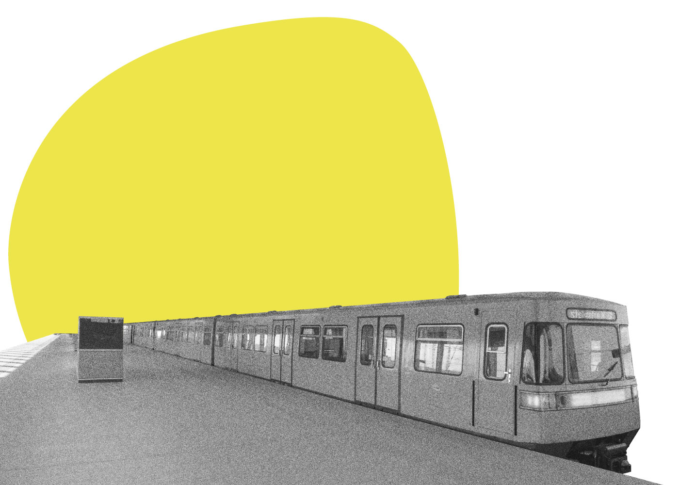
Come with us on an interactive journey and discover first the importance of public transport connections for aspern Seestadt! You’ll also discover what underground trains have in common with spheres!