Thank you very much for your interest in the mobility survey aspern Seestadt. Here you will find answers to frequently asked questions.
General questions
+What’s the cell phone app “Wegesammler”?
With this app “Wegesammler 2.0” your mobility data can be collected with smartphones. As a participant in the mobility survey, you download the “Wegesammler” app onto your smartphone. GPS coordinates and acceleration data are transferred to the server. The distances you have travelled and the means of transport used are automatically recognised and stored in a digital mobility diary.
+Who can participate in the survey?
Eligible to participate are those persons who have received an invitation to the mobility survey and a participant ID. If you live in aspern Seestadt and you are interested in participating, but you have not yet been invited by us to participate, you can contact us using seestadtpanel@tuwien.ac.at or you can self-enrol filling in the registration form.
+Why should I participate?
The collected data form the basis for resident oriented transport planning: With the knowledge of the daily mobility behaviour of the residents of aspern Seestadt, the available financial means can be adapted to the needs of the residents. With your participation, you make a valuable contribution to improve mobility in the Seestadt!
+I no longer wish to participate in the survey. How can I terminate my participation?
You can end your participation by simply logging out within the app. No more routes will be recorded.
Questions about the smartphone app
+Which smartphone is required to install the “Wegesammler 2.0” app?
Android
The app supports Android phones from version 5.0.
Note: For Android smartphones, the respective names and menu navigation may differ depending on the device type:
Select “Setting(s)” (usually a cogwheel symbol). Depending on the device, you will find the menu item “About the phone” directly or the item “About device” under the Options tab. In the respective info area, you will then find the installed Android version. Also in the Settings menu, you can choose the category “Applications”, “Application Manager” or “Apps”. Here you should find “Google Play services”. These are usually represented by a puzzle piece icon. If the Android version is at least 5.0 and the Google Play services are installed, the Android smartphone meets the requirements.
iPhone
The app supports iPhones from model 5s with iOS version 11.0 or higher.
Your iPhone model and iOS version can be checked up on your iPhone under Settings/General/Info. You can check if iOS is up to date under Settings/General/Software Update.
+What settings do I need to make on my smartphone?
In order for “Wegesammler 2.0” to work, the app needs to access the tracking services or location services. Please allow permanent access to the location services after successful installation.
+How do I know that the tracking services are switched off? How can I activate them?
If Tracking Services are disabled, this will be indicated in the app’s interface. To activate the Tracking Services, please follow the respective instructions:
Android
On Android you can access the location services directly from the “Wegesammler 2.0” app. Just press “GPS is switched off”. You will then be taken directly to the system settings. Please confirm “Access my location”, as well as in the location sources “GPS Satellites” and “Wireless Networks”.
iPhone
For the iPhone, open “Settings” > “Privacy” > “Location Services”. There the tracking services has to be activated in general and you must allow “Wegesammler 2.0” to have access to the tracking services.
+Why does “Wegesammler 2.0” need access to my location services and camera?
“Wegesammler” needs access to the location services to determine your routes via GPS satellites and Google Locations (mobile phone network and Wi-Fi). Wi-Fi connection information enables the app to automatically upload routes to the server. By accessing the camera, the subscriber ID can also be conveniently scanned using a QR code.
+Will the app affect the battery life of my smartphone?
Using location services – especially GPS – consumes battery power. However, the app is configured to be very battery-saving, so that battery consumption is kept to a minimum. This is achieved by using other smartphone sensors and clever algorithms in addition to GPS, which, for example, minimizes the frequency of location queries and thus conserve the battery. We work every day to further reduce battery consumption. At the moment our test devices consume about 3% battery in idle mode with activated location services. However, as this differs from device to device, we recommend charging the cell phone overnight.
Battery saving mode (iOS only)
The app supports a battery saving mode on the iPhone, which has to be activated in the settings. The battery saving mode ensures that the GPS queries are switched off when the device is not in use and are only reactivated when a significant change of location takes place.
+How can I temporarily switch off the recording of my routes?
It is very important for the survey that we know all your routes – this is the only way to obtain important information for improving traffic infrastructure, mobility services and information. In any case, you have the option to interrupt the survey at any time in the settings. By clicking on “Activate Tracking” on the start screen of the app, you can reactivate the recording of your routes at any time.
+How can I prevent my data from being transferred via the mobile network?
By default, your data is only transmitted via Wi-Fi Internet connection. In the settings, you have the option of additionally allowing data transfer via mobile phone. Depending on your contract with your telephone provider, this may incur costs.
+Which costs might incur by the data transfer?
The app sends the gathered data and routes to the Wegesammler 2.0 server for analyzing via Wi-Fi, as soon as the mobile phone is connected to a Wi-Fi network. Therefore the data usage is kept minimal (~2 KB/day).
In case you don’t have access to a Wi-Fi network you have the option of allowing data transfer via mobile phone in the settings. At average usage with an active mobile data transfer around 2,5 MB/day are used. The costs are defined by your contract with your telephone provider.
+Can an account be used by several users?
Only one user is allowed to use the account. By the usage by several users, the routes would be counted for one user resulting in statistical errors.
+Can the app be used on several devices simultaneously?
We recommend to install the app on one device only. In principle, you can install “Wegesammler” on several devices, but you should never be logged on to several devices at the same time.
+How long can I use the app?
The Mobility Panel aspern Seestadt is designed in a way so that we ask our participants to participate (at least) one week. However, you can also use the app for longer or shorter periods if you wish.
+Can I use the app without participating in a survey?
To use the “Wegesammler 2.0” you need an ID. If you have not received an invitation to participate in the study and you live in aspern Seestadt, you can contact us at seestadtpanel@tuwien.ac.at to obtain a participant ID. Or you sel-register in the application form.
+I have forgotten my password. How can I reset it?
You can choose a new password via the “Reset password” link.
Questions for checking and editing the paths
+Why can’t I see any recorded paths?
Please be patient. By default, the app only transmits data via Wi-Fi to minimize the use of your mobile data. Once a stable connection to a Wi-Fi network has been established, data processing can take several hours, which is why the paths travelled are displayed in the app with a delay. If you rarely have Wi-Fi access, you can enable wireless data transfer in the app settings so that the app can work as expected. If the problem persists for several hours after a stable Wi-Fi connection has been established, please contact us at seestadtpanel@tuwien.ac.at.
+How can I view individual routes?
Yes, you can see your tracks for each day in the app and get an overview of when and where you went and by which means of transport. In addition, other statistics are offered, such as preferred means of transport and the number of kilometres travelled, personal CO2 consumption or average activity.
+Is it possible for me to correct wrongly recognized tracks?
Yes, you can manually correct the detected means of transport for the distances travelled, thus helping the system to improve the results. To do this, tap on the detected means of transport and select the correct means of transport from the drop-down list. In addition, you can merge tracks that are connected, or delete tracks that have errors. Do not forget to confirm the changes for one day.
+Why should I confirm paths?
Since our system automatically determines the means of transport, errors can always occur. By editing and then confirming the recorded days, you help us to validate the collected traffic data and improve “Wegesammler 2.0” app.
Data collection and data protection
+Can I see if I am being tracked?
Yes, in the “Wegesammler 2.0” app in the “Settings” you can see if the recording is activated.
On Android devices, the notification bar also shows if the recording is active in “Wegesammler 2.0”.
+Can I switch off or pause the tracking?
Yes, there is the possibility to deactivate the tracking in the settings of the app “Wegesammler 2.0”.
If you deactivate the tracking services in the settings of your smartphone, or if you take away the access to the location services from “Wegesammler 2.0”, the tracking will be deactivated in the app as well. If you want to reactivate the location services later and use the app again, you have to reactivate tracking manually in the app.
+In which area will my data be recorded?
“Wegesammler 2.0” records wherever you are on the road with your smartphone. By providing a holistic picture of your travel behaviour, it recognizes which means of transport you prefer and how active you are on the road.
+When does the app collect data?
As soon as the recording is active in the app, data points are collected. The data points include spatial coordinates, time points and states of movement. These data points are used to calculate stages with different means of transport and associated attributes such as duration and length. If the app is used over a longer period of time, motion profiles of several days are displayed.
+Which data is collected?
When participating in the survey, user data is stored. With your e-mail address and your self-chosen password, you register for the use of the “Wegesammler 2.0” app. The e-mail address is also used to contact you in the context of the study.
With activated recording, sensor data is also collected, which provides information about your spatial coordinates, times and states of movement.
+Which smartphone sensor data will be analysed?
Time of localization
Geo-coordinates and accuracy (determined by GPS chip)
Acceleration values (determined via sensors in the smartphone)
Gyro sensor/gyroscope values (determined via sensors in the smartphone)
Barometer/air pressure data (determined via sensors in the smartphone)
Magnetometer (determined via sensors in the smartphone)
Motion activity from operating system
Detection reliability (confidence) of the movement activity
User Agent (device type, operating system version, app version)
+Can I object to the processing of my personal data?
As a user of the app, you enjoy the rights of revocation and objection laid out in the DSGVO. In accordance with Art. 8 Para. 3 and Art. 21 of the DSGVO, you can object to the use and recording of your data at any time and revoke any consent you may have given to the use of your data. To exercise the aforementioned rights, please contact Wegesammler 2.0 GmbH via datenschutz@motion-tag.com.
+Can I receive my personal data?
For information requests, please send an e-mail with the subject “Wegesammler 2.0 information request”, stating the e-mail address with which you have registered, to datenschutz@motion-tag.com.
Problem solving
+ The registration probably did not work. What can I do?
As part of the registration process, please confirm your email address to activate your account. You should have received an email with a confirmation link. Please check your inbox and spam folder if necessary. Click on the link to activate your account.
You can then log in with your email address and the password you chose yourself and start using the app. If you are not sure which password you have chosen, you can choose a new password via the “Reset password” link.
+No paths are recorded. What can I do?
Verify that the settings are correct for the app to work properly.
Device settings:
The location feature must be enabled on the device.
The app needs permission to access the location: ALWAYS ALLOW access to the location.
The Wi-Fi must be switched on. However, the smartphone does not need to be continuously connected to a Wi-Fi network. By default, the app transmits data only over Wi-Fi to minimize the use of your cellular data. Processing can take a few hours, which is why you can view traveled paths in the app with a delay.
iOS: Turn on the Fitness Log option on your iPhone. Settings > Privacy > Exercise & Fitness > Fitness Log ON.
App settings in Wegesammler 2.0:
Recording must be activated.
If you rarely have a Wi-Fi connection on your smartphone, mobile data transfer can be activated in the app settings so that the app can regularly transfer and analyze data. Typical usage with mobile data transfer enabled consumes around 2.5 MB of data volume per day.
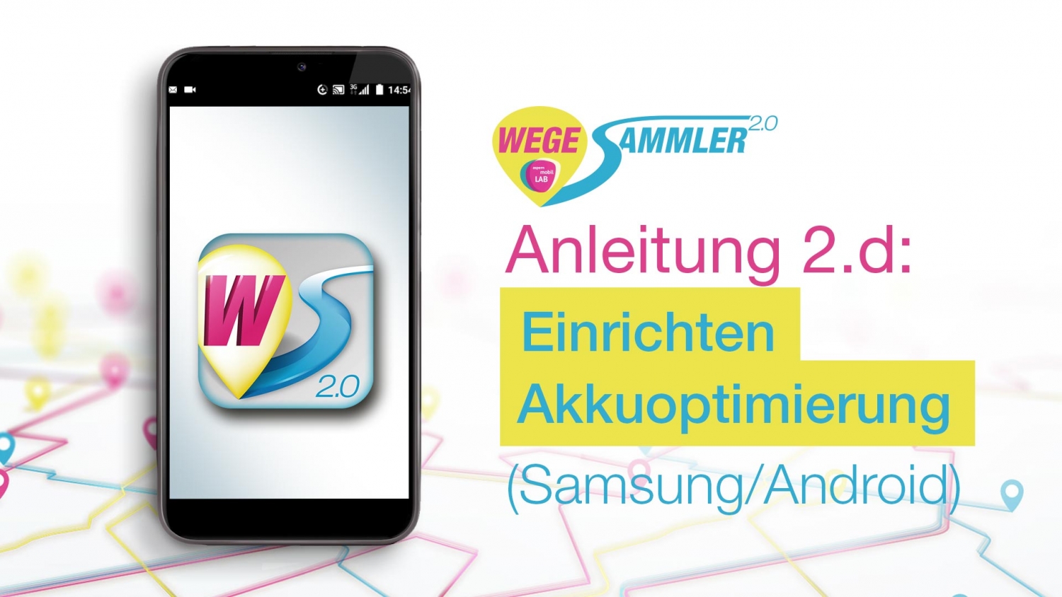
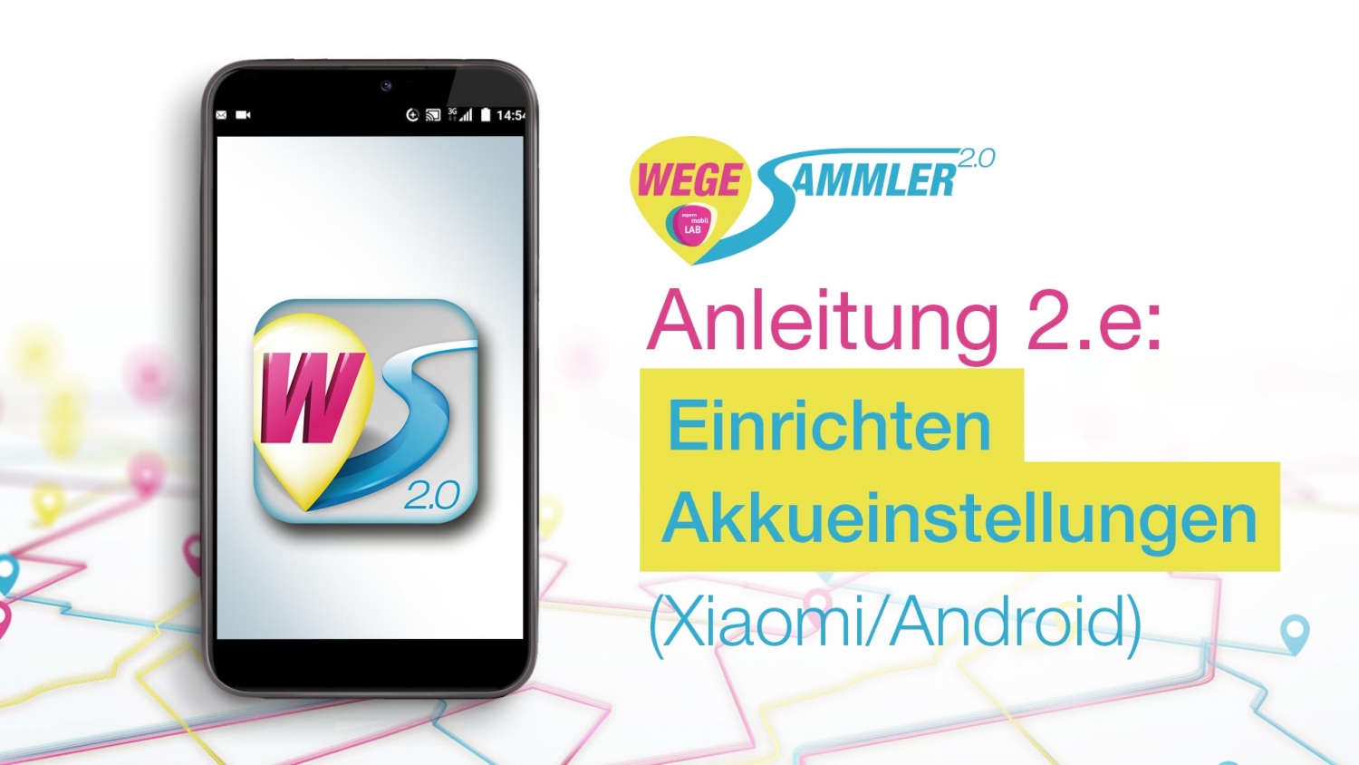
+ Why do I see gaps in my recorded routes?
In order for the app to work properly and to record paths in the background, the battery performance optimization for the app must be deactivated in the smartphone settings.
On some smartphone models, especially those from Huawei, Samsung, OnePlus and Xiaomi, there are app-specific battery saving modes that have been customized by the manufacturers. These are automatically activated when the device is not used for a certain period of time. As a result, the operating system of the devices does not allow apps running in the background and quits them in sleep mode to extend battery life.
In order to enable unrestricted functionality of the app, make the following changes in the device settings:
Open the settings for Battery / Battery Manager / Battery Optimization / Power Saving in your smartphone. If the options are available in the device, try the following settings:
– Add the app to the Protected Apps list
– Allow the app to “Continue running after screen lock”.
– Remove the app from the list for “Optimize battery consumption” or select “Ignore battery optimizations” > “Allow” for the app
– Allow the app to “Run in background”
– Disabling “Background restrictions” for the app
– Deactivation “Disable unused apps”
– Deactivation of “Automatically terminate unused apps”
– Removing the app from the “Inactive Apps” list
– Search for “Wegesammler 2.0” app and select “Do not optimize” or “No restrictions”
If the device also has autostart settings under “Security” or “Permissions”, authorize the app to autostart in order to enable seamless further use of “Wegesammler 2.0” after a restart of the smartphone.
+Why are days marked as unchecked, although I have already checked them?
This is because the same day after the check, there are tracks or stays added that have not yet been checked.
The last stages or stays of a day often are not fully displayed in the app until the next day. This can be explained as follows: The recorded data is only transferred to our server, where they are analysed, when an internet connection is available. Only tracks that are recognized as complete and finished are then sent back to the app and displayed there. As long as a track or stay is still running, it will not be displayed. Only after the next stage has also been sent and analysed over an internet connection, the previous stage is considered complete and displayed.
+Why are there no results in the statistics area, even though routes have already been recorded?
The statistics area only shows tracks that have been previously marked as checked. After each track of a day has been checked and the means of transport and stops have been edited as needed, you can mark the day as checked by checking it in the Tracks View.
You live in aspern Seestadt and have interest in participating in the mobility survey? Then feel free to visit us for a coffee in our aspern.mobil LAB during our office hours or register through the registration form below:
The mobility survey consits of two strands: on the one hand, the route survey with the smartphone app "Wegesammler 2.0" and, on the other hand, a questionnaire. Optionally, an analouge route diary can also be used.
To get an overview of the use of the information collected from the mobility survey, visit the storymaps website and see the most popular cycle routes, the mobility behavior of Seestadt residents within Vienna, etc.
Um dir ein optimales Erlebnis zu bieten, verwenden wir Technologien wie Cookies, um Geräteinformationen zu speichern und/oder darauf zuzugreifen. Wenn du diesen Technologien zustimmst, können wir Daten wie das Surfverhalten oder eindeutige IDs auf dieser Website verarbeiten. Wenn du deine Zustimmung nicht erteilst oder zurückziehst, können bestimmte Merkmale und Funktionen beeinträchtigt werden.
Funktional
Always active
Die technische Speicherung oder der Zugang ist unbedingt erforderlich für den rechtmäßigen Zweck, die Nutzung eines bestimmten Dienstes zu ermöglichen, der vom Teilnehmer oder Nutzer ausdrücklich gewünscht wird, oder für den alleinigen Zweck, die Übertragung einer Nachricht über ein elektronisches Kommunikationsnetz durchzuführen.
Vorlieben
Die technische Speicherung oder der Zugriff ist für den rechtmäßigen Zweck der Speicherung von Präferenzen erforderlich, die nicht vom Abonnenten oder Benutzer angefordert wurden.
Statistiken
Die technische Speicherung oder der Zugriff, der ausschließlich zu statistischen Zwecken erfolgt.Die technische Speicherung oder der Zugriff, der ausschließlich zu anonymen statistischen Zwecken verwendet wird. Ohne eine Vorladung, die freiwillige Zustimmung deines Internetdienstanbieters oder zusätzliche Aufzeichnungen von Dritten können die zu diesem Zweck gespeicherten oder abgerufenen Informationen allein in der Regel nicht dazu verwendet werden, dich zu identifizieren.
Marketing
Die technische Speicherung oder der Zugriff ist erforderlich, um Nutzerprofile zu erstellen, um Werbung zu versenden oder um den Nutzer auf einer Website oder über mehrere Websites hinweg zu ähnlichen Marketingzwecken zu verfolgen.


 in our aspern.mobil LAB during our office hours or register through the registration form below: